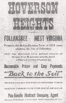
Origin of today’s Hooverson Heights name goes back to the Hoover & Johnson farm shown on the 1924 map below. The name Hooverson comes from Hoover with the addition of “son” from the Johnson name. Heights was added to the name later.
Evelyn Heckman has provided us with an excellent description of early Hooverson Heights and Eldersville road farming areas. While traveling up today’s Alleghany Street to Hooverson Heights, the traveler saw the A. Finley farm of 47 acres located to the left. On the right was a larger “farm of 291 acres owned by J. A. and T. C. McKim. The McKim property extended from the top of the hill at what is today Oak Grove Cemetery down Rockdale Road to the first bend, and continued down the hillside to the boundary of today’s Follansbee.” Other small farms were located on Rockdale Road on the route to Cross Creek.
- For more information go to http://www.angelfire.com/wi/bcga/sp17.html
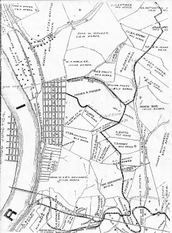
Map of 1924.
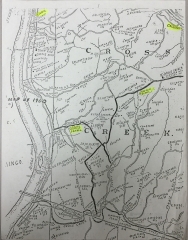
Map of Hooverson Heights shows early one-room schools.
Historic Martin Rihel homestead. See on map of 1924, mid-right side off of Eldersville road.
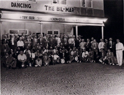
During the 30’s-50’s “The Bil-Mar” was a popular entertainment hall. The building still stands near intersection of Mahan’s Lane and Eldersville Road.
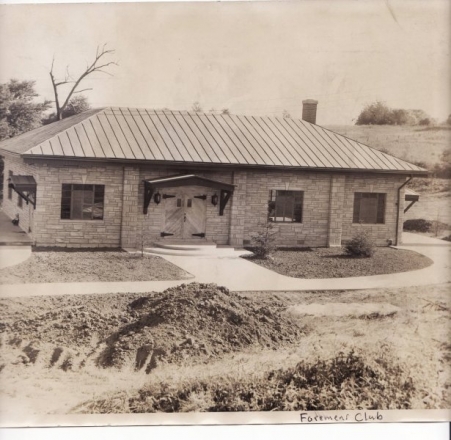
Formans Club.
Store Advertisement: Follansbee Review, Nov. 5, 1939.
Early Hooverson Heights School.
- Evelyn Heckman, “Early Background of Hooverson Heights & Eldersville Area Booke County, WV,” Brooke County Historical Society.