THE FOLLOWING ARE JANUARY 1892 NEWS ITEMS RELATED TO THE VICINITY THAT IS NOW FOLLANSBEE. THE STEUBENVILLE PAPER STILL REFERED TO THE LAND ACROSS THE OHIO RIVER AS THE “VIRIGINA HILLS.”
TWO BOTTLES OF LIQUOR An old citizen informs us that the Virginia Hills that front Steubenville and are the glory of the city, was purchased from the Indians by RICHARD WELLS, the father of NATHANIEL WELLS and grandfather of E.T. WELLS of this city, for two bottles of red liquor. The strip included in the purchase extended from near the Panhandle Bridge to CLARK’s Run, a distance of two miles. (1-1-1892, p.12) **(Nathaniel Wells established the first river ferry crossing once located where the Market Street Bridge is today.)
Miss CARRIE MAHAN and cousin, Miss RUTH STRAIN, of over-the-river, are in Pittsburgh. (1-8, 1892, p. 5.) **(Carrie was a member of the Mahan family that sold land to the Follansbee Brothers upon which the Follansbee Steel Mill was built and the city of Follansbee exists today).
THE FIRST STEAMBOAT that plied the Ohio River was called the New Orleans … built in 1811 at Pittsburgh under the direction of ROBERT FULTON … In June of that year (1815) the Enterprise, the second steamboat ever on the Ohio, Capt. SHRIEVE commanding arrived at the Steubenville wharf. (1-8-1892, p. 8) ** (1815 was the date when the Mahan Family arrived in the vicinity now Follansbee. They were among the first to view the early steamboats.)
WM. SILLICK, who was seriously injured by a fall into a ravine from a ledge, a distance of thirty feet, on the Virginia hills near the lower ferry is still in a very precarious condition and may not recover. One of his thighs and three ribs were broken, and it is supposed that he was also injured internally. He was out hunting at the time and made a misstep. (1-8-1892, p. 12) ** (This event occurred near Mahan Lane & Route 2 in present-day Follansbee.)
J.R. BURGOYNE died at his home in Brooke County, W.Va., opposite Mingo, Wednesday night at 9:15, aged seventy-six years. Mr. Burgoyne was born in Cecil County, Maryland, January 3d, 1816. After reaching manhood he settled in Steubenville where he was employed as a clerk. He moved to Brooke County where he purchased a farm, upon which he lived since 1847. His wife died in 1866. He had long been an active and consistent member of the M.E. Church and was a most excellent man in all walks of life, intellectual, honest, active, kind and gentle. He leaves seven children: W.R., the well-known pharmacist of Steubenville, RUFUS of this city, Mrs. NANCY McGAHAN of Brooke County, Mrs. JESSE REESE, Mrs. REBECCA J. HELMICK, Mrs. MARY BREEN of Mingo, and Mrs. AIKEN of Empire. The funeral services will be held at the home residence at two o’clock Friday and the interment will be in the family burying yard on the home farm. (1-8-1892, p. 12.) He operated a worm powder farm according to an ad in Steubenville paper. (1-8-1892, p. 7) **(The second brick house on the right entering Follansbee from Wellsburg is believed to have been Burgoyne’s home, and the oldest building in Follansbee).
Taff No. 1 on the BOLES FARM is casing, having a great deal of trouble with a bad cave and part of the bailer which they are rounding up and bringing out in pieces, which is a slow job. (1-8-1892, p. 12)) **(Boles Farm was near the PA state line along Eldersville Road. In the 1930s the, farm was a popular attraction for picnics and its weekend dance stand.)
*Steubenville Weekly Gazette, Local News Items, Jan. 1, 1892.
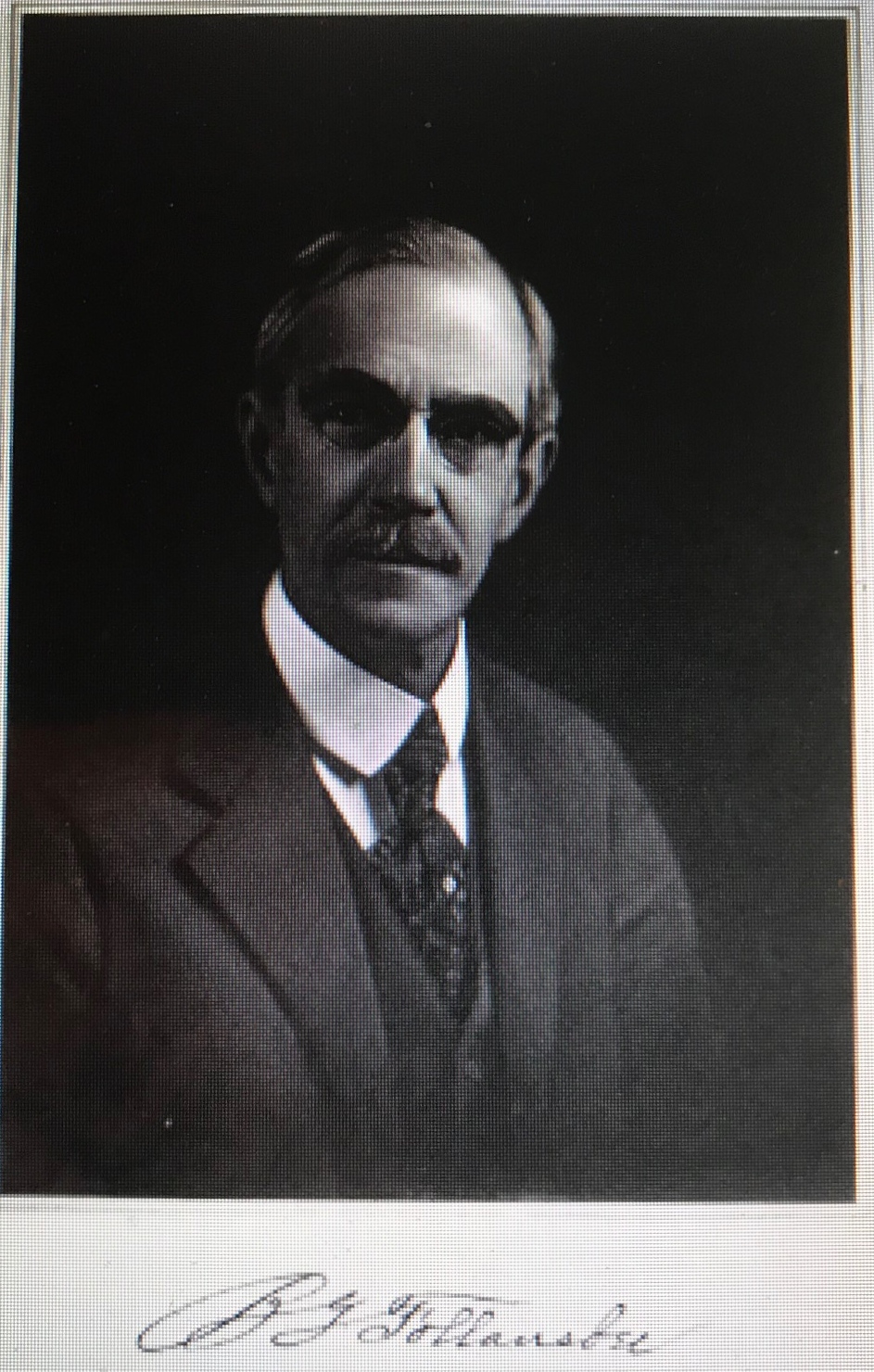
 The Follansbee Brothers


